


#DanasPH
Typhoon Bising weakens over Taiwan; wind signal lifted in Batanes
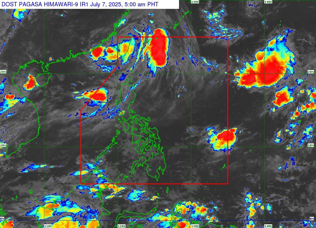
MANILA, Philippines – Typhoon “Bising” (international name: Danas) has slightly weakened as it moves over the northwestern portion of Taiwan, according to the latest bulletin issued by PAGASA early Monday, July 7, 2025. With this development, Tropical Cyclone Wind Signal (TCWS) No. 1 has been lifted over Batanes.
As of 4:00 AM today, July 7, the center of Typhoon Bising was estimated at 405 kilometers North Northwest of Itbayat, Batanes (24.3°N, 120.8°E). The typhoon now packs maximum sustained winds of 130 kilometers per hour (kph) near the center, with gustiness of up to 180 kph, and a central pressure of 970 hPa. It is currently moving northeastward at 25 kph, with strong to typhoon-force winds extending outwards up to 390 km from its center.
Typhoon Bising re-entered the Philippine Area of Responsibility (PAR) at 11:00 PM yesterday and made landfall over the southwestern portion of Taiwan at 11:50 PM. It is expected to continue moving generally northeastward while traversing the landmass of Taiwan and will exit the northern boundary of the PAR this morning, July 7.
Heavy rainfall outlook
For the heavy rainfall outlook, refer to Weather Advisory No. 4 issued at 5:00 AM today due to the Southwest Monsoon. The Southwest Monsoon is expected to bring moderate to heavy rains (50-100 mm) over Ilocos Norte, Ilocos Sur, La Union, and Pangasinan today (July 7). Forecast rainfall may be higher in mountainous and elevated areas, and impacts in some areas may be worsened by significant antecedent rainfall.
Severe winds
The Southwest Monsoon will bring strong to gale-force gusts over the following areas, especially in coastal and upland areas exposed to winds:
- Today (July 7): Ilocos Region, Cagayan, Isabela, Aurora, Zambales, Bataan, Quezon, Occidental Mindoro, Masbate, and Romblon.
- Tomorrow (July 8): Ilocos Region, Cagayan, Isabela, Aurora, Zambales, Bataan, Quezon, Masbate, Romblon, Occidental Mindoro, and Palawan.
- Wednesday (July 9): Ilocos Region, Cagayan, Aurora, Zambales, Bataan, Quezon, Masbate, Romblon, Occidental Mindoro, and Palawan.
Coastal waters hazards (24-hour sea condition outlook):
- Moderate to rough seas (up to 4.0 m): The seaboard of Batanes and the western and northern seaboards of Babuyan Islands.
- Moderate to rough seas (up to 3.0 m): The western seaboard of Ilocos Norte.
- Mariners of small seacrafts, including all types of motorbancas, are advised not to venture out to sea under these conditions, especially if inexperienced or operating ill-equipped vessels.
- Up to moderate seas (up to 2.5 m): The seaboard of Zambales and the remaining seaboards of Ilocos Region and Babuyan Islands.
- Up to moderate seas (up to 2.0 m): The seaboards of Bataan and Lubang Islands.
- Mariners of motorbancas and similarly-sized vessels are advised to take precautionary measures while venturing out to sea and, if possible, avoid navigation under these conditions.
Track and intensity outlook
On the forecast track, Bising will turn northwestward tomorrow (July 8) and is expected to make another landfall over Eastern China. Bising will continue to weaken throughout the forecast period and is projected to become a remnant low by Wednesday (July 9) as it moves over the landmass of Eastern China.