


#DANTEPH
Tropical Depression Dante intensifies, moves northwestward over Philippine sea
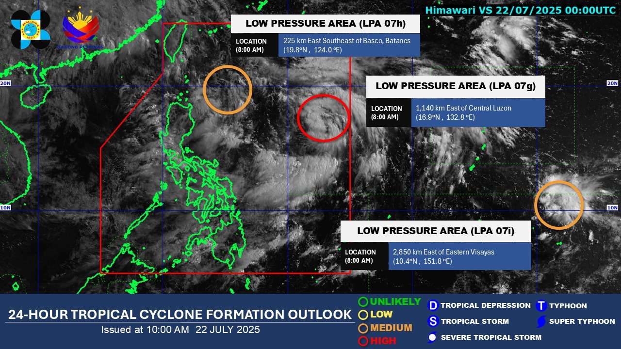
Tropical Depression Dante has slightly intensified as it continues its northwestward trek over the Philippine Sea, according to Tropical Cyclone Bulletin No. 2 issued by the state weather bureau at 11:00 PM on Wednesday, July 22, 2025.
As of 10:00 PM, the center of Tropical Depression Dante was located approximately 1,055 km East of Extreme Northern Luzon, specifically at 19.0°N, 131.5°E. The depression is currently packing maximum sustained winds of 55 km/h near the center, with gustiness reaching up to 70 km/h. Its central pressure is recorded at 998 hPa.
Dante is moving at a pace of 25 km/h in a northwestward direction. Strong winds associated with the tropical depression extend outwards up to 300 km from its center.
No Wind Signals Hoisted, but Monsoon Enhanced by Dante to Bring Gusts
Currently, no Tropical Cyclone Wind Signals (TCWS) are in effect over any land area. However, the Southwest Monsoon, significantly enhanced by Tropical Depression Dante, is expected to bring strong to gale-force gusts over several areas, particularly in coastal and upland regions exposed to winds.
Heavy Rainfall and Severe Winds Outlook
Severe Winds: The following areas can expect strong to gale-force gusts:
- Today (July 22): Zambales, Bataan, Metro Manila, CALABARZON, MIMAROPA, Visayas, and Dinagat Islands.
- Tomorrow (July 23): Ilocos Region, Zambales, Bataan, Bulacan, Metro Manila, CALABARZON, MIMAROPA, Visayas, Zamboanga del Norte, Misamis Occidental, Lanao del Norte, Camiguin, and Dinagat Islands.
- Thursday (July 24): Ilocos Region, Abra, Benguet, Central Luzon, Metro Manila, CALABARZON, MIMAROPA, Visayas, Zamboanga del Norte, Misamis Occidental, Lanao del Norte, Camiguin, Davao Occidental, and Davao Oriental.